Hallorans Hill Conservation Park
-
Email
-
Phone
-
Website
-
Address
Dalziel Avenue
Atherton, Queensland 4883, Australia -
Social
Hallorans Hill Conservation Park
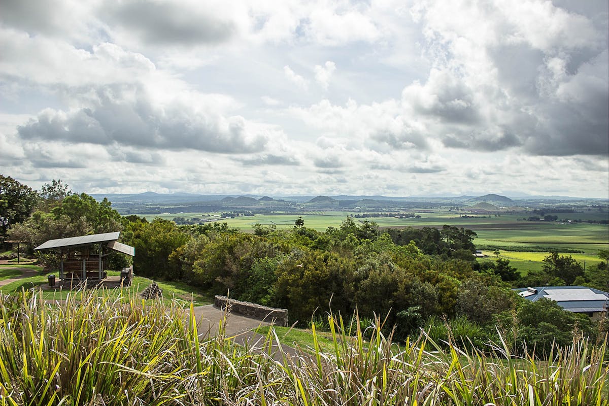
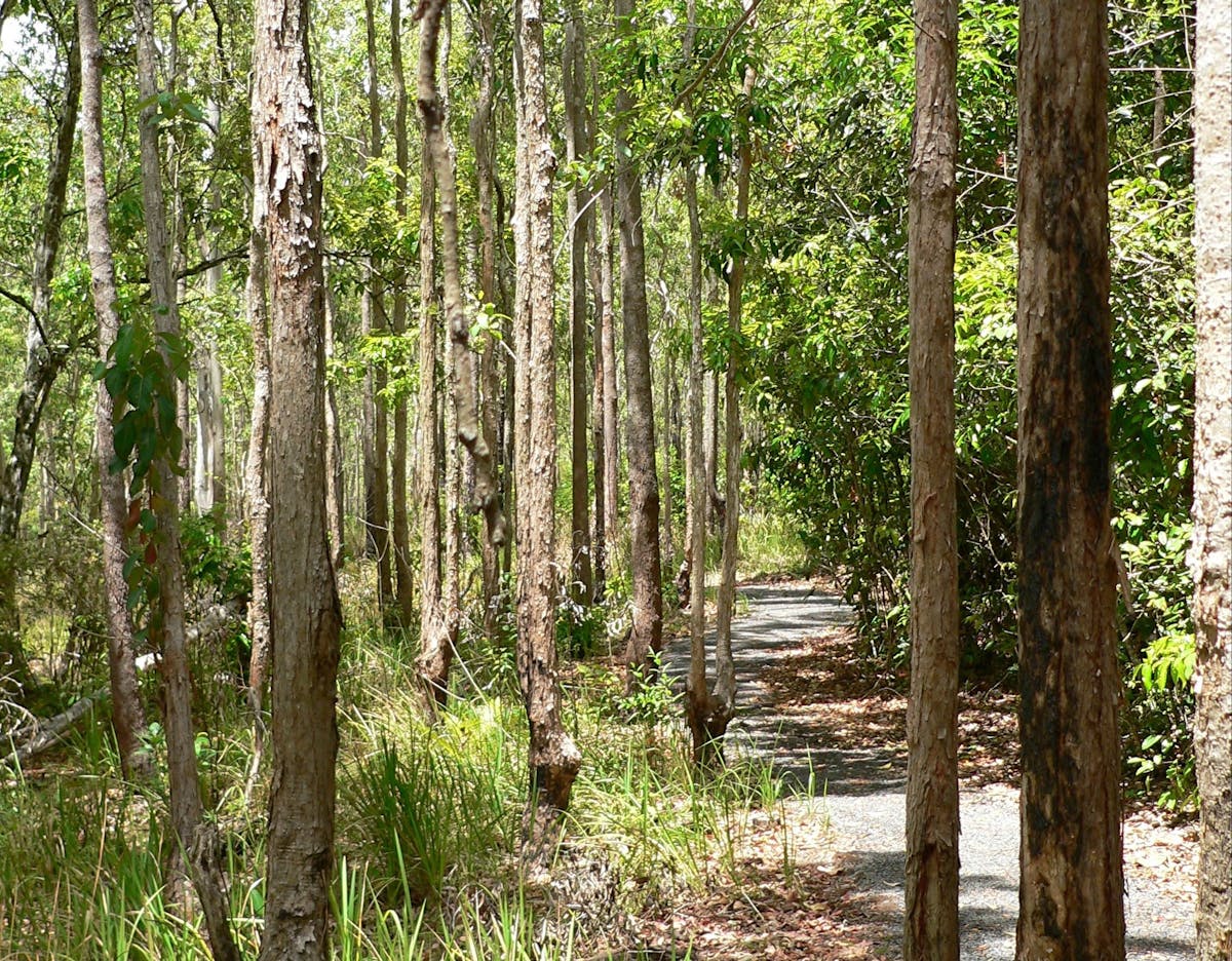
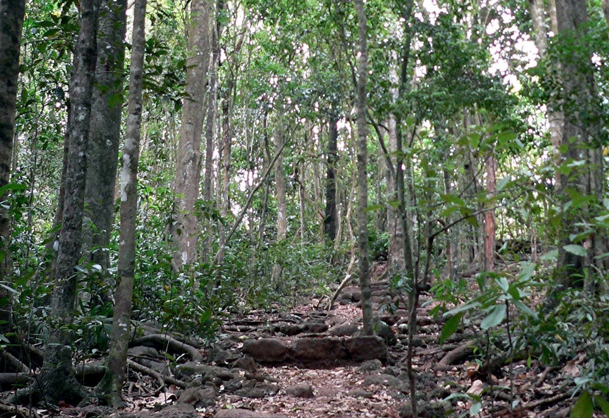
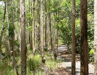
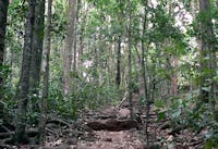
This park, in the middle of the township of Atherton, protects eucalypt forest and a remnant of the endangered mabi forest on an extinct volcanic cone. The cone is part of the legacy of the Atherton Tableland’s fiery geological past.
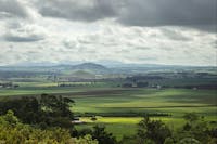
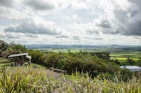
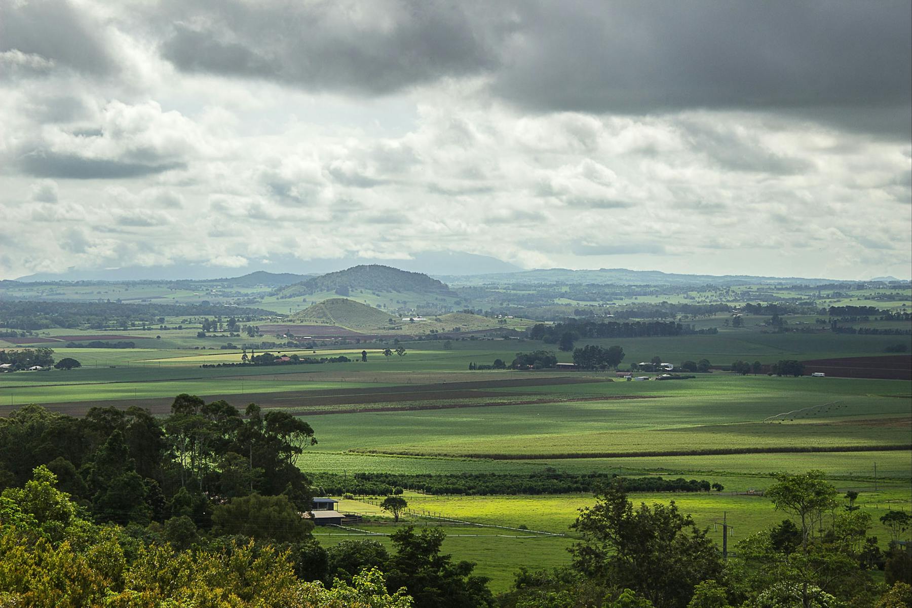
Walk the 1.4 kilometres track to the top of Hallorans Hill or drive through the residential area of Atherton to the car park at the top of the hill. Enjoy the expansive views from the summit that showcase the tableland’s mosaic of different land uses and geological formations.
A council park adjoins the conservation park and provides barbecues, toilets, tables, play equipment, walking track and interpretive signs.
Image credits: Wiert Mensinga (views);Tamara Vallance, Qld Govt (walking tracks).
Location
Facilities
Disabled access available, contact operator for details.
-
Picnic area
-
Public toilet
Hallorans Hill Conservation Park